
價格:免費
更新日期:2019-03-03
檔案大小:6.2 MB
目前版本:3.0
版本需求:需要 iOS 9.3 或以上版本。與 iPhone、iPad 及 iPod touch 相容。
支援語言:英語
Best map for Boaters, Sailors, Fishermen, Divers!
Now supports iPhone X/XS/XR/XS Max, iPad Pro 12 inch (2nd & 3rd generation) & iPad Pro 11 inch devices.
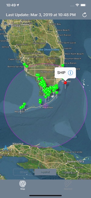
New feature shows nautical miles coverage radius circle and buoy stations and ships with in it.
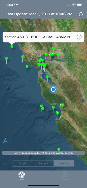
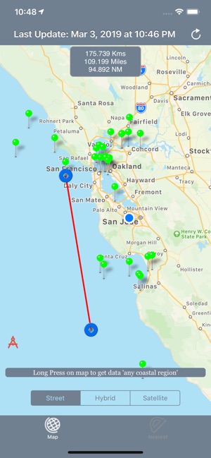
Custom search allows get buoys data for any desired region (Long press on map along the coast to get buoy stations or available ships data).
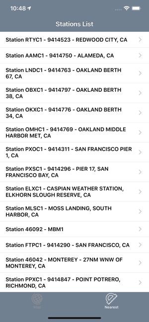
The NOAA Buoys Stations and Ships map is a unique app that allow you to retrieve weather data and real time ship positions data from NOAA's National Data Buoy Centre based on your current GPS location.
All Buoy Stations and Ships are displayed on the maps (Street, Hybrid, Satellite)
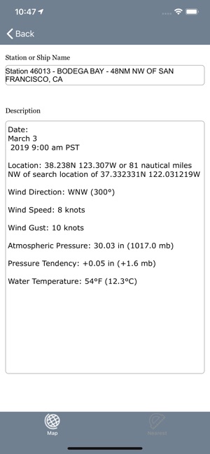
Search Nearest Stations and get all the NOAA information for Wind Speed, Wind Direction, Wind Gust, Air Temperature, Water Temperature, Dew Point and more parameters…
Please note that Internet connection is required to access data from NOAA NDBC.
支援平台:iPhone, iPad